- Traveling by Car
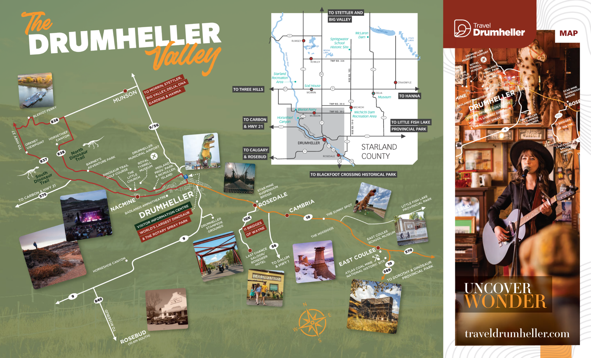
Drumheller is located on HWY 9 along the Red Deer River Valley in the heart of the Canadian Badlands. Coordinates 51° 27’ 49” N 112° 43’ 10” W.
Be sure to check driving conditions, which are updated hourly and available from Alberta Motor Association – Road Reports.
Distances and times by car:
- Calgary: 110 km (68 mi) 1 hr 30 min
- Edmonton: 280 km (174 mi) 3 hrs
- Drumheller: 6 km (4 mi) 7 min
- Red Deer: 169 km (105 mi) 2 hrs
- Banff: 264 km (163 mi) 3 hrs
- Brooks: 138 km (85 mi) 1 hr 30 min
- Lethbridge: 302 km (188 mi) 3 hrs 15 min
- Medicine Hat: 251 km (156 mi) 2 hrs 30 min
- Traveling by Air
Drumheller is a 90 minute drive NE of Calgary, AB and the Calgary International Airport (YYC). The Calgary International Airport services all major airlines and airports around the world.
Airport travel providers:
- Traveling by Bus
Coming soon!